This post may contain affiliate links. For more information, please see my full disclosure policy.
Turn on some music, grab some snacks, and let’s get ready to hit the road! We’re going on a road trip and we’d love for you to join us!
Today, we’re launching our brand new US State geography curriculum!

Intended for lower elementary students, this geography series will introduce you to a new state each week. By the time we’ve reached the end of our journey, we’ll have visited each and every one of the 50 U.S. states and you’ll have learned all about their capitals, state symbols, famous figures, and more!
In addition, every state study includes fun facts, hands-on activity ideas, book recommendations to extend your learning and more!
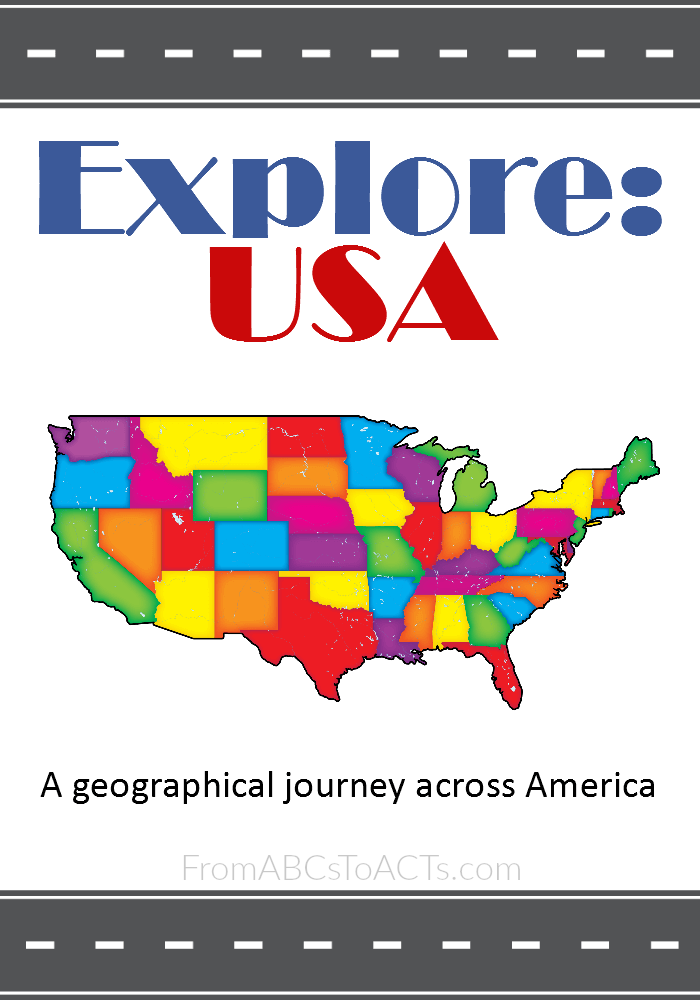
The first pack in our series is an introduction pack designed to give you the maps and resources you’ll need to complete the state studies along with a fun printable cover sheet should you decide to keep the packs together in a 3-ring binder.
In this pack, you’ll find:
- List of U.S. states in alphabetical order
- States listed by date of statehood
- 2 U.S. state maps (the 48 contiguous states)
- State map marking the various regions of the U.S.
- A world map marking the U.S. to also show the location of Alaska and Hawaii
One thing to note is that these state maps are to be used simply as reference maps for the majority of your state studies. It is recommended that you utilize either another map, globe, or some other, larger resource for studying the states, their terrain, distances from each other, etc. more extensively.
The pack is meant to get you set up and ready to roll. Before you know it, we’ll be cruising down the highway as we explore the U.S.A!
Make sure you check back each week for the newest state studies!
